
Key Takeaways
- Scattered thunderstorms and rain showers are expected across parts of New Jersey today.
- Forecasters anticipate unsettled atmospheric conditions impacting outdoor afternoon plans.
- The latest weekend forecast brings crucial updates for upcoming regional events and leisure activities.
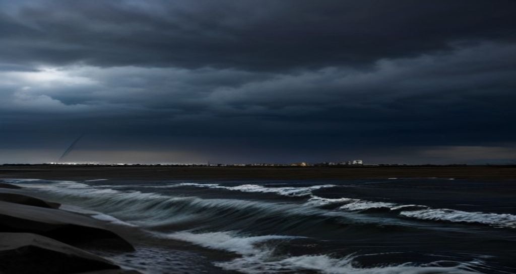
Residents across the Garden State should keep rain gear close at hand as meteorologists track a shifting weather pattern. According to initial reporting and meteorological updates from NJ.com, scattered thunderstorms and localized rain showers are anticipated to develop throughout New Jersey today. While the entire state may not experience continuous rainfall, sudden downpours and brief periods of heavy wind gusts could quickly disrupt commutes and outdoor schedules.
Atmospheric instability combined with high humidity levels is driving the development of these popup storms. Regional weather tracking services indicate that the northeastern and central corridors of the state face the highest probability of seeing convective activity during the peak heating hours of the afternoon. Commuters are advised to exercise caution, maintain following distances on wet roadways, and monitor local radar feeds for sudden weather advisories.
Weekend Weather Outlook: What to Expect Next
Beyond today’s immediate meteorological turbulence, New Jersey residents eagerly await clarity on the upcoming weekend forecast. Weather experts analyzing regional pressure systems note that while today carries notable precipitation risks, conditions are expected to evolve significantly over the next forty-eight hours. Weekend plans – ranging from coastal beach trips to local community festivals – hang in the balance as forecasters refine their predictive models.
According to updates shared via NJ.com, the weekend trajectory suggests a gradual clearing trend, though lingering humidity could spark isolated afternoon showers in select localized areas, particularly down the shore. Outdoor enthusiasts looking to capitalize on regional parks and boardwalks will want to stay tuned to hourly updates as the high-pressure system attempts to stabilize local atmospheric conditions.
Preparing for Unsettled Seasonal Shifts
Spring and summer transitions in the Mid-Atlantic frequently bring rapid shifts in daily weather, catching outdoor workers and commuters off guard. Emergency management officials consistently remind the public that sudden thunderstorms can produce dangerous cloud-to-ground lightning and localized street flooding. Ensuring home gutters are clear and checking vehicle wiper blades remain proactive steps residents can take during active weather weeks.
As meteorological agencies continue to analyze satellite data and radar imagery, further updates regarding specific county-level impacts will be released. Local authorities recommend signing up for municipal emergency alert notifications to receive real-time warnings directly to mobile devices.
Frequently Asked Questions
Are severe weather warnings in effect for New Jersey today?
While general scattered thunderstorms and rain showers are projected by meteorologists, localized severe weather advisories are issued on a case-by-case basis. Residents should check real-time radar and local emergency alerts for active warnings in their specific municipality.
Will the upcoming weekend be completely ruined by rain?
Not necessarily. Current weekend projections indicate a general clearing trend across most regions, though isolated popup showers remain possible near coastal areas. Checking updated daily forecasts will help fine-tune weekend schedules.
Leave a Reply