
Key Takeaways
- Scattered showers and localized thunderstorms are slated to sweep across New Jersey later today.
- Atmospheric instability could bring heavy downpours and gusty winds to various regions.
- The upcoming weekend promises much drier, sunnier, and pleasant conditions for outdoor plans.
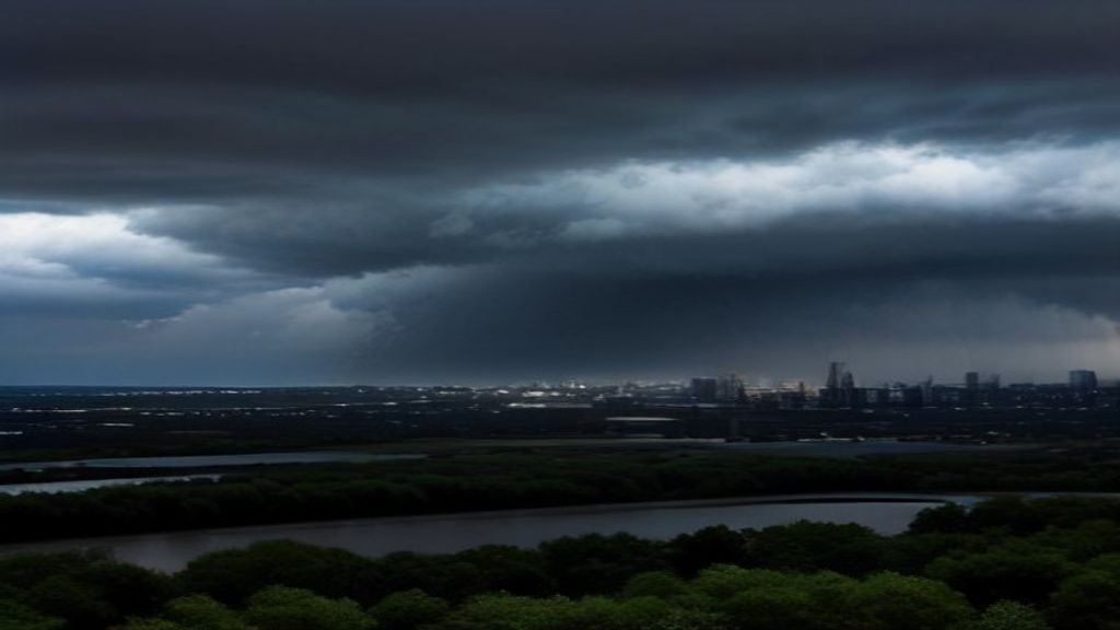
Residents across the Garden State should prepare for a volatile meteorological shift as incoming weather systems bring a round of showers and potential thunderstorms. According to initial meteorological updates and reporting from NJ.com, atmospheric conditions are primed for wet weather to develop as the day progresses, impacting commutes and outdoor activities throughout several counties.
Forecasters note that while the morning may start relatively calm, humidity and rising temperatures will fuel the development of rain clouds by the afternoon. Certain areas could experience heavier precipitation pockets accompanied by sharp winds and occasional lightning strikes, prompting local authorities to advise caution for motorists navigating slick roadways during peak travel hours.
Tracking the Timeline and Impact Areas
The progression of today’s storm system is expected to move swiftly from west to east across New Jersey. Commuters heading home from work are urged to monitor real-time radar updates, as sudden downpours might temporarily reduce visibility on major thoroughfares including the New Jersey Turnpike, Garden State Parkway, and local transit corridors.
Emergency management agencies have reminded drivers to avoid driving through standing water and to maintain safe following distances. Although widespread severe weather is not officially anticipated, localized gusty winds could knock out scattered power lines or cause minor tree debris.
Weekend Weather Outlook: Brighter Days Ahead
Fortunately, the unsettled atmospheric conditions will not linger for long. As reported by NJ.com meteorologists, a crisp, high-pressure front is scheduled to push the storm system out to sea by late Friday evening, paving the way for an idyllic weekend.
Saturday and Sunday are projected to feature abundant sunshine, comfortable humidity levels, and seasonal temperatures. This favorable turn in the weather will be a welcome relief for residents looking forward to parks, beaches, and community events across the state.
Frequently Asked Questions
When will the storms arrive in New Jersey today?
Showers and potential thunderstorms are expected to materialize during the afternoon and evening hours, intensifying as they move across the state from west to east.
Will the weekend weather be clear for outdoor events?
Yes. Forecasters indicate that high pressure will build in by Friday night, guaranteeing sunny skies and pleasant conditions for both Saturday and Sunday.
Leave a Reply