
Key Takeaways
- National Weather Service field investigators are actively inspecting wreckage across portions of South Jersey and Delaware following severe storms.
- Violent squall lines spawned suspected twisters that uprooted mature trees, tore through roofs, and severed power connections.
- Meteorological survey teams are analyzing debris paths and structural failures to issue official Enhanced Fujita (EF) scale ratings.
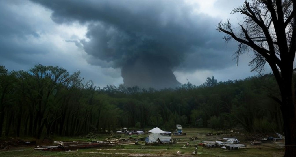
Emergency management officials and meteorologists are cataloging the aftermath of a violent severe weather outbreak that swept across the mid-Atlantic region. Following reports of tornadic activity across communities in southern New Jersey and neighboring Delaware, survey crews from the National Weather Service (NWS) regional forecast office in Mount Holly have been deployed to assess the full scope of the destruction.
According to initial reporting from NBC10 Philadelphia, the turbulent weather system carved localized paths of intense destruction, toppling heavy timber, damaging private residences, and snapping utility infrastructure. Residents described rapid weather changes as sudden, ferocious winds tore through residential neighborhoods with minimal advance warning, forcing families into interior basements and storm shelters.
Ground Crews Mobilize to Determine Twister Intensity
The primary focus for federal meteorological teams is to distinguish between straight-line wind damage and true tornadic rotation. Field specialists walk the impacted corridors, inspecting whether snapped tree trunks fell in a uniform direction or display the chaotic, convergent pattern characteristic of a rotating vortex.
Regional authorities confirmed to NBC10 Philadelphia that local public works departments and first responders worked through the night to clear blocked thoroughfares and safeguard downed electrical cables. Utility providers rushed technical crews to the hardest-hit sectors to restore electricity to thousands of customers left in the dark by severed distribution lines.
Atmospheric Instability Sparks Rapid Cyclogenesis
The severe weather event developed as an energetic upper-level trough collided with a surge of warm, humid air streaming upward along the Eastern Seaboard. This sharp baroclinic boundary created ample wind shear, providing the necessary spin for rotating updrafts to form within isolated supercells and bow echoes.
Forecasters note that mid-Atlantic tornadoes, while historically less frequent than those in the Great Plains, can pose severe hazards due to high population densities, extensive tree canopies, and rain-wrapped funnels that obscure visual identification until impact is imminent.
Local Recovery and Ongoing Safety Advisories
Municipal officials throughout affected counties in New Jersey and Delaware continue to urge caution. Homeowners are advised to steer clear of tangled power lines, avoid operating heavy machinery near unstable tree limbs, and document all property loss for insurance claims before commencing debris removal.
Frequently Asked Questions
How does the National Weather Service confirm and rate a tornado?
The NWS dispatches trained meteorologists to inspect ground-level structural and vegetation damage. By examining building failures, tree damage patterns, and radar data, experts estimate peak wind speeds and assign an official rating on the Enhanced Fujita (EF) scale, ranging from EF-0 (65-85 mph) to EF-5 (over 200 mph).
What should residents do if their property sustained storm damage?
Impacted residents should photograph all damaged areas before clean-up, contact their insurance carriers immediately, stay well clear of sagging or downed power lines, and hire licensed, insured contractors to handle structural repairs and hazardous tree removal.
Leave a Reply